Northern Development has approved $250,000 in funding for Geoscience B.C. to begin work on the first phase of the “Peace Project”. The endeavor is aimed at gaining a better understanding of regional aquifers in northeast B.C., especially where limited water wells exist north of the Peace River.
In March 2014, the Province announced the new Water Sustainability Act, which enforces the regulation of groundwater usage B.C. In addition to the new Water Sustainability Act, the government is working with Treaty 8 First Nations on the Northeast Water Strategy to address ground water usage concerns.
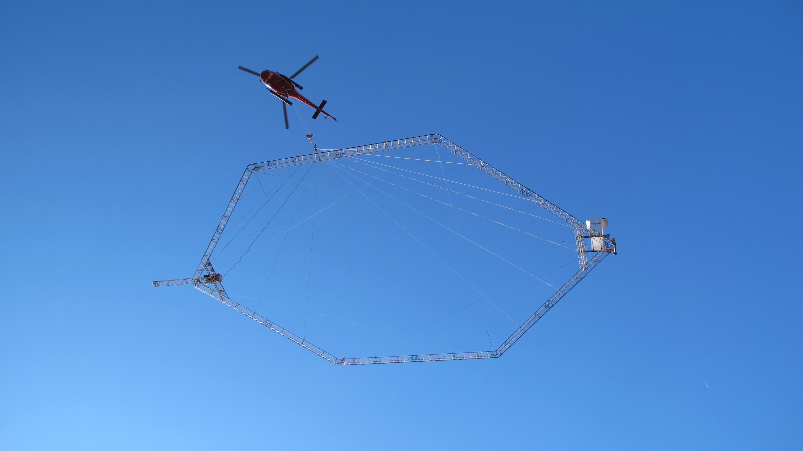
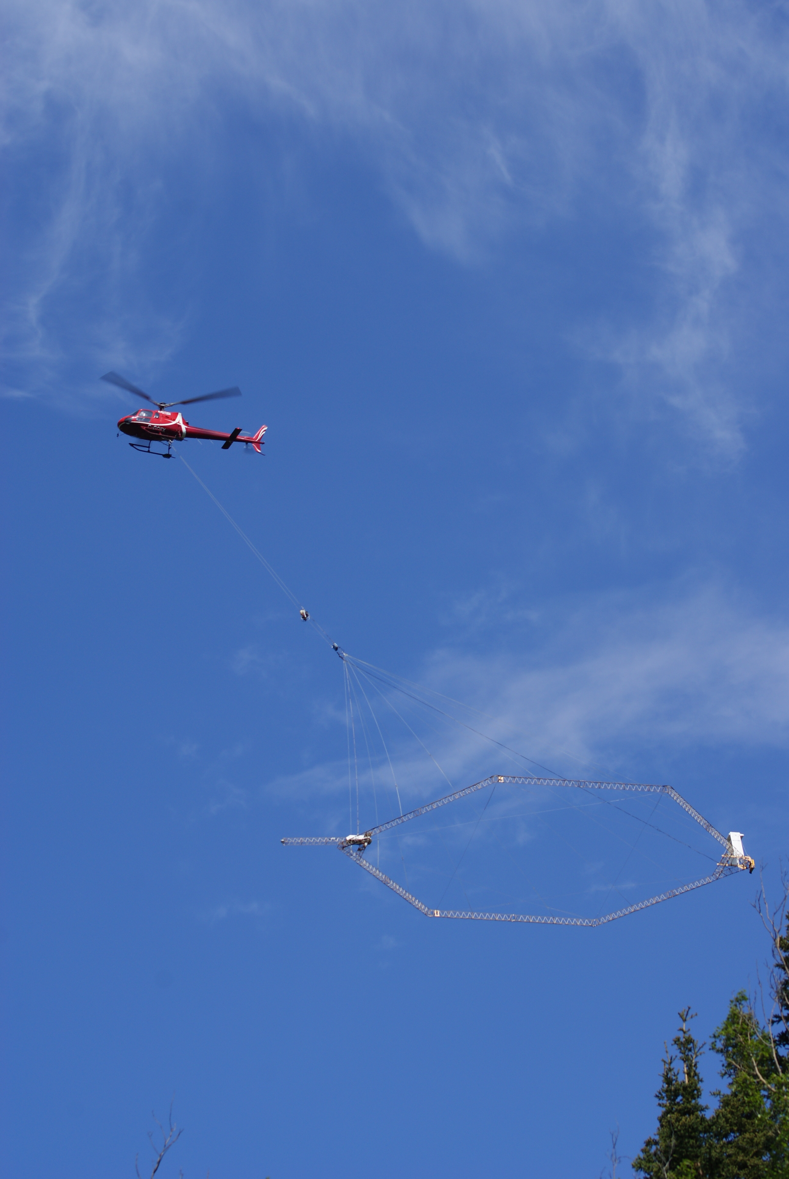
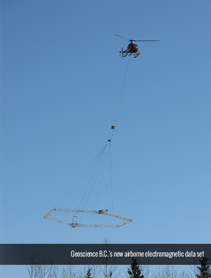
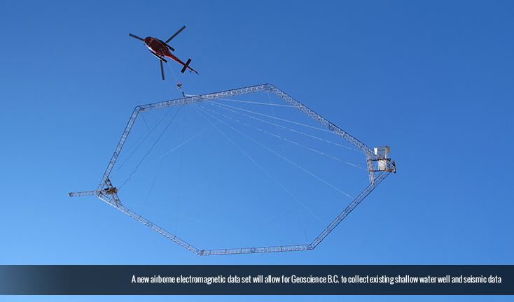
To help protect northern B.C.’s water and support these initiatives, Geoscience B.C. is planning Phase One of the project, which consists of mapping and assessing shallow groundwater aquifers in northeast B.C.’s Peace region, centered along the Montney gas play using existing shallow water well and seismic data and a new airborne electromagnetic data set. The electromagnetic survey will specifically target shallow aquifers (up to 350m depth), which are the most likely contenders to provide non-potable water resources needed for natural gas development.
The project proposes to deliver geophysical maps, aquifer information including delineated areas of newly identified aquifers, updates to previously mapped aquifer extents, aquifer characterization information, interpreted quaternary depth maps, reports for new groundwater monitoring wells and a GIS-based decision support tool to allow open access to data gathered from the project to the public.
Phase two of the proposed project, which is located north of the Peace River is planned to be implemented the following year. Phase One of the “Peace Project” was approved under the Trust’s Economic Diversification Infrastructure program, which provides up to $250,000 in funding to municipalities, regional districts, First Nations and non-profit organizations in Northern Development’s service area.
Quotes

Quick Facts
• Northern Development has previously supported Geoscience B.C. with grant funding for the QUEST (North Cariboo area) and QUEST-West (Regional District of Bulkley-Nechako area) projects, totalling $2,400,000.
• The project proposes to deliver geophysical maps, aquifer information including delineated areas of newly identified aquifers, updates to previously mapped aquifer extents, and aquifer characterization information.
• The project also plans to interpreted quaternary depth maps, create reports for new groundwater monitoring wells (including well logs and pumping test results) and create aGIS-based decision support tool to allow open access to data gathered from the project to the public.
Contact
Joel McKay,
Director, Communications,
Northern Development Initiative Trust
joel@northerndevelopment.bc.ca
250-561-2525